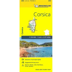
The MICHELIN Corsica local map, scale 1/150,000 is the ideal companion to fully explore this northern part of France and provides star-rated Michelin tourist itineraries and... Læs mere
Bemærk: Kan leveres før jul
Revideret udgave 2018. 3 falsede vandrekort (inkluderer også cykelruter) i målestokken 1:50.000. Kortene er indsat i plastomslag. GPS præcise kort, med adgang til gratis download af kortene.
The TOP25 map series from IGN is the essential map for outdoor activities in scale 1:25.000.The most detailed folding map, recommended for anyone enjoying outdoor activities, includingwalking, horseriding, off-road cycling and discovering.
Bemærk: Kan leveres før jul
IGN 3 in 1map , for Walking, cycling, motoring. By car: - Updated road and motorways network - Cultural, historical and natural heritage - National... Læs mere
Bemærk: Kan leveres før jul
3 falsede vandrekort (inkluderer også cykelruter) i målestokken 1:50.000. Kortene er indsat i plastomslag. GPS præcise kort, med adgang til gratis download af kortene.
Step off the beaten track with this fascinating Corsica guide book. Let our local experts show you the well-hidden treasures and hidden places of this amazing island.... Læs mere
3 falsede vandrekort (inkluderer også cykelruter) i målestokken 1:50.000. Kortene er indsat i plastomslag. GPS kompatibelt kort, med adgang til gratis download af kortene.
Bemærk: Kan leveres før jul
IGN 3 in 1map , for Walking, cycling, motoring. By car: - Updated road and motorways network - Cultural, historical and natural... Læs mere