Ingen varer
A-Z maps Forfatter
Visning: Type : Alle | Sprog : Alle | Format : Alle
-
Bemærk: Kan leveres før jul.
Scotland A-Z Visitors Map (Sheet map, folded, Engelsk)Explore the whole of Scotland from Dumfries and Galloway in the South to the Orkney Islands in the North. With detailed road mapping and illustrated town plans of major cities, this feature rich, helpful tourist guide is ideal for touring around Scotland.
Levering: 6 - 9 hverdage -
Bemærk: Kan leveres før jul.
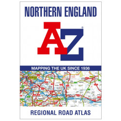
Northern England A-Z Road Atlas (Bog, Paperback / softback, Engelsk)Find your way around Northern England with this fully revised and updated road atlas. A full colour regional road atlas featuring 52 pages of road mapping.
Levering: 6 - 9 hverdage -
Bemærk: Kan leveres før jul.
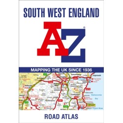
South West England A-Z Road Atlas (Bog, Paperback / softback, Engelsk)This full-colour road atlas features 30 pages of continuous road mapping. Includes Cornwall, Devon, Dorset, Plymouth Somerset and Torbay.
Levering: 6 - 9 hverdage -
Bemærk: Kan leveres før jul.
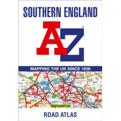
Southern England A-Z Road Atlas (Bog, Paperback / softback, Engelsk)A full-colour regional road atlas featuring 39 pages of continuous road mapping. Covering an extensive area, including Bristol, Swindon, Reading, Slough,... Læs mere
Levering: 6 - 9 hverdage -
Bemærk: Kan leveres før jul.
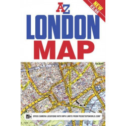
London A-Z Map (Sheet map, folded, Engelsk)This great value, fold-out map uses our instantly recognisable A-Z street mapping and has handy a TfL Tube map on the back for easy access.
Levering: 6 - 9 hverdage -
Bemærk: Kan leveres før jul.
Yorkshire A-Z Visitors Map (Sheet map, folded, Engelsk)Explore the whole region of Yorkshire extending from Sheffield to Darlington. With detailed road mapping and illustrated town plans of major cities, this feature rich, helpful tourist guide is ideal for touring around Yorkshire.
Levering: 6 - 9 hverdage -
Bemærk: Kan leveres før jul.
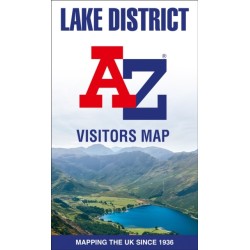
Lake District A-Z Visitors Map (Sheet map, folded, Engelsk)Explore the whole region and area extending from Cockermouth and Penrith in the north to Ulverston and Grange-over-Sands in the south and from the M6 in the east to the coast in the west.
Levering: 6 - 9 hverdage -
Bemærk: Kan leveres før jul.
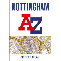
Nottingham A-Z Street Atlas (Bog, Paperback / softback, Engelsk)Navigate your way around Nottingham with this detailed and easy-to-use A-Z Street Atlas. Printed in full-colour, paperback format, this atlas contains 74 pages of continuous street mapping.
Levering: 6 - 9 hverdage -
Bemærk: Kan leveres før jul.
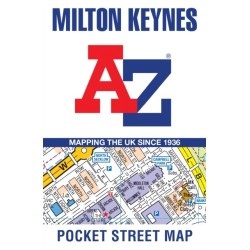
Milton Keynes A-Z Pocket Street Map (Sheet map, folded, Engelsk)Navigate your way around Milton Keynes with detailed street maps from A-Z
Levering: 6 - 9 hverdage -
Bemærk: Kan leveres før jul.
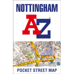
Nottingham A-Z Pocket Street Map (Sheet map, folded, Engelsk)Navigate your way around Nottingham with detailed street maps from A-Z
Levering: 6 - 9 hverdage -
Bemærk: Kan leveres før jul.
Portsmouth A-Z Pocket Street Map (Sheet map, folded, Engelsk)Navigate your way around Portsmouth with detailed street maps from A-Z
Levering: 6 - 9 hverdage -
Bemærk: Kan leveres før jul.
Reading A-Z Pocket Street Map (Sheet map, folded, Engelsk)Navigate your way around Reading with detailed street maps from A-Z
Levering: 6 - 9 hverdage


